Annangrove
Appearance
| Annangrove Sydney, New South Wales | |||||||||||||||
|---|---|---|---|---|---|---|---|---|---|---|---|---|---|---|---|
 | |||||||||||||||
| Coordinates | 33°39′09″S 150°56′27″E / 33.65255°S 150.94096°E | ||||||||||||||
| Population | 1,472 (SAL 2021)[1] | ||||||||||||||
| Postcode(s) | 2156 | ||||||||||||||
| Elevation | 86 m (282 ft) | ||||||||||||||
| Location | 42 km (26 mi) north-west of Sydney CBD | ||||||||||||||
| LGA(s) | The Hills Shire | ||||||||||||||
| State electorate(s) | Castle Hill | ||||||||||||||
| Federal division(s) | Mitchell | ||||||||||||||
| |||||||||||||||
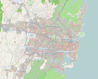
Annangrove is a suburb of Sydney, in the state of New South Wales, Australia 42 kilometres north-west of the Sydney central business district in the local government area of The Hills Shire and part of the Hills District region.[2]
Places of worship
[edit]- Sydney Zoroastrian Fire Temple is located at 196 Annangrove Road.[3]
- Imam Hasan Centre, a Muslim prayer centre (Hussainia) for Shia Muslims in Sydney, opened 16 October 2004.[4]
Demographics
[edit]According to the 2021 census of Population, there were 1,472 residents in Annangrove. 80.9% of people were born in Australia and 86.7% of people only spoke English at home. The most common responses for religious affiliation were Catholic 40.8%, No Religion 19.7% and Anglican 14.8%.[5]
References
[edit]- ^ Australian Bureau of Statistics (28 June 2022). "Annangrove (suburb and locality)". Australian Census 2021 QuickStats. Retrieved 28 June 2022.
- ^ Gregory's Sydney Street Directory, Gregory's Publishing Company, 2002, Map 187
- ^ Australian Zoroastrian Association Of NSW Incorporated
- ^ "Hansard". ParlInfo. Australian Government. Retrieved 19 January 2015.
- ^ Australian Bureau of Statistics (28 June 2022). "Annangrove (State Suburb)". 2021 Census QuickStats. Retrieved 2 August 2024.

